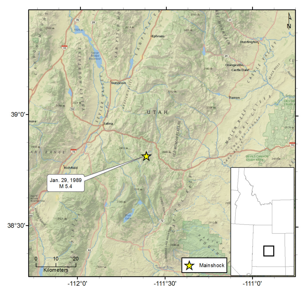
January 29, 1989 - So. Wasatch Plateau, UT - M 5.4
A magnitude 5.4 earthquake struck the southern Wasatch Plateau approximately 15 miles east southeast of Salina, Sevier County, Utah, at 9:06 p.m. on Sunday, January 29, 1989.
The felt area for the earthquake was 148,000 square kilometers (~57,143 square miles) and extended from northeastern Utah to southwestern Wyoming, western Colorado and northern Arizona.
In Sevier County, Utah, buildings were shaken strongly enough for pictures to come off walls. Minor structural damage was reported. Some telephone service was interrupted in Carbon and Millard Counties. A power plant in Millard County was shut down for short time and another in Emery County had service interrupted briefly.
Officials inspected roads, dams and railways in the areas surrounding the epicenter, but no damage was reported. Interstate 70 was temporarily closed due to a rockslide in Salina Canyon, but was quickly cleared and re-opened.
Calls flooded into Salt Lake Valley and Utah County police agencies reporting shaken homes, swaying light fixtures and moving furniture. One individual in Provo said she was knocked to the floor from the force of the shaking.
No significant damage or injuries were reported for this earthquake.
For additional information about this earthquake:
Earthquake Summary Newspaper Articles Additional Resources
Intermountain Seismic Belt Historical Earthquake Project
- 1945 Flathead Lake, MT M5.5
- 1952 Bigfork, MT M5.5
- 1935 Helena, MT (series) M6¼
- 1929 Lombard, MT M 5.6
- 1925 Clarkston Valley, MT M 6¾
- 1959 Hebgen Lake, MT M 7.5
- 1975 Yellowstone National Park , WY M 6.1
- 1947 Virginia City, MT M 6¼
- 1945 Central Idaho M 6.0
- 1944 Central Idaho M 6.1
- 1983 Borah Peak, ID (series) M 7.3

